
River Encroachment Monitoring
Old and new satellite images, compared side by side, so encroachment on a river has nowhere to hide.
What is River Encroachment Monitoring?
River Encroachment Monitoring Through Satellite Image Analysis is a research project that compares historic and current satellite images of the same river. Where buildings or fill have crept into the water, the change shows up as a clear difference between then and now. The aim is simple: help protect rivers by making encroachment visible, across Bangladesh’s riverine regions.
Who it’s for: The people responsible for keeping rivers and waterways open.
Last updated
What it does
Then and now
Historic and current satellite images of the same stretch of river, side by side.
Encroachment, highlighted
Banks where land has pushed into the river are marked, not left to the eye.
Water body changes
How the water itself has changed, across Bangladesh’s riverine regions.
Vessel activity
Boat traffic on the rivers, from the same images.
Platforms and facts
- Type
- Research project
- Platform
- Web, behind a login
- Data
- Historic and current satellite images
- Area
- Bangladesh’s riverine regions
- Full name
- River Encroachment Monitoring Through Satellite Image Analysis
Inside the system
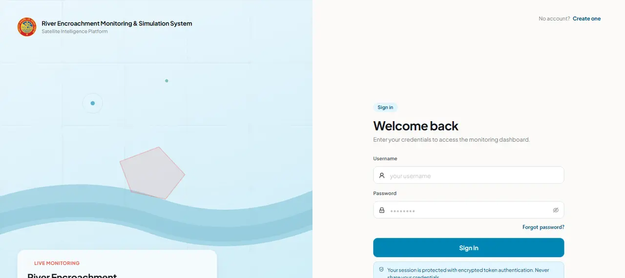
Questions about the river project
What does it detect?
Places where land has encroached on a river, found by comparing historic and current satellite images of the same spot.
Can anyone use it?
Not yet. The live system sits behind a login.
Can you build something like it for other places?
Tell us what you need to watch and we’ll talk it through. Image analysis like this is work we already do.
Got a hard problem worth solving?
Difficult problems that matter are the ones we enjoy most. Bring us yours, and we’ll see it through to a system that runs.